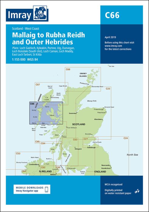
Scale: 1:155,000. WGS 84
Plans included:
Loch Gairloch (1:40 000)
Kyleakin (1:40 000)
Portree (1:25 000)
Uig (1:35 000)
Dunvegan (1:40 000)
Loch Boisdale (South Uist) (1:25 000)
Loch Carnan (1:20 000)
Loch Maddy (1:40 000)
East Loch Tarbert (1:60 000)
St Kilda (1:150 000)
On this edition the latest depth surveys have been applied throughout. The amendments to the firing practice areas are included and there has been general updating throughout.
| Artikelnummer | BD2877 |
|---|---|
| Haupttitel | C66 Mallaig to Rudha Reidh and Outer Hebrides |
| ISBN | 9781846237478 |
| EAN | 9781846237478 |
| Hersteller / Verlag | Imray |
| Rückgaberecht | Gemäss unseren AGBs |
| Produkttyp | Karte |
| Medium / Produktart | Papier |
| Kategorien | Seekarte/Binnenkarte |
| Sprache | Englisch |
| Land / Region | Schottland |
| Gewässer | Atlantischer Ozean |
| Erscheinungsjahr | 2021 |
| Ausführung | Gefaltet, in Plastikmappe |
| Massstab | 1:155'000 |
| Kartentyp | 1:30'000 bis 1:300'000 |
| Kartenlänge offen (cm) | 78,7 |
| Kartenbreite offen (cm) | 111,8 |
| Gewicht (kg) | 0.13 |
| Dimension 1 (cm) | 33 |
| Dimension 2 (cm) | 24 |







Validate your login
Anmelden
Neuen Account erstellen