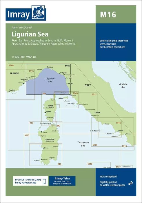
Scale: 1:325,000 WGS 84
Plans included:
San Remo (1:15 000)
Approaches to Genova (1:75 000)
Golfo Marconi (1:40 000)
Approaches to La Spezia (1:37 500)
Viareggio (1:20 000)
Approaches to Livorno (1:50 000)
On this edition the latest information on firing practice areas is shown, as are the latest details of Marine Reserves. Harbour developments are shown on plans of Livorno, La Spezia and Golfo Marconi.
| Artikelnummer | BD2897 |
|---|---|
| Haupttitel | M16 Ligurian Sea |
| ISBN | 9781846238444 |
| EAN | 9781846238444 |
| Hersteller / Verlag | Imray |
| Rückgaberecht | Gemäss unseren AGBs |
| Produkttyp | Karte |
| Medium / Produktart | Papier |
| Kategorien | Seekarte/Binnenkarte |
| Sprache | Englisch |
| Land / Region | Frankreich, Italien |
| Gewässer | Ligurisches Meer, Mittelmeer |
| Erscheinungsjahr | 2016 |
| Aktualisiert | 2023 |
| Ausführung | Gefaltet, in Plastikmappe |
| Massstab | 1:325'000 |
| Kartentyp | 1:300'000 bis 1:1'600'000 |
| Kartenlänge offen (cm) | 64,0 |
| Kartenbreite offen (cm) | 90,0 |
| Gewicht (kg) | 0.13 |
| Dimension 1 (cm) | 33 |
| Dimension 2 (cm) | 24 |









Validate your login
Anmelden
Neuen Account erstellen