Plans included:
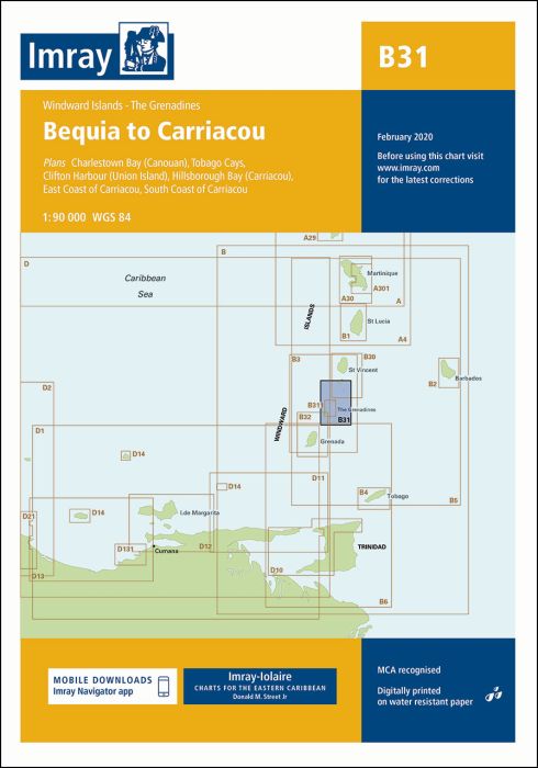
Charlestown Bay (Canouan) (1:20 000)
Tobago Cays (1:30 000)
Clifton Harbour (Union Island) (1:25 000)
Hillsborough Bay (Carriacou) (1:35 000)
East Coast of Carriacou (1:45 000)
South Coast of Carriacou (1:50 000)
For this edition the chart has been fully updated throughout. Two new plans have been added of the east and south coasts of Carriacou. These new plans display revised depths and anchorages in the waters around Carriacou.
| Artikelnummer | BD6096 |
|---|---|
| Haupttitel | B31 Grenadines - Middle Sheet |
| Untertitel | Bequia to Carriacou |
| ISBN | 9781846237041 |
| EAN | 9781846237041 |
| Hersteller / Verlag | Imray |
| Rückgaberecht | Gemäss unseren AGBs |
| Produkttyp | Karte |
| Medium / Produktart | Papier |
| Kategorien | Seekarte/Binnenkarte |
| Sprache | Englisch |
| Land / Region | Antillen (Kleine), Karibik, Windward-Inseln |
| Gewässer | Atlantischer Ozean, Karibisches Meer |
| Erscheinungsjahr | 2015 |
| Aktualisiert | 2020 |
| Ausführung | Gefaltet, in Plastikmappe |
| Massstab | 1:90'000 |
| Kartentyp | 1:30'000 bis 1:300'000 |
| Kartenlänge offen (cm) | 64 |
| Kartenbreite offen (cm) | 90 |
| Gewicht (kg) | 0.13 |
| Dimension 1 (cm) | 33 |
| Dimension 2 (cm) | 24 |


Validate your login
Anmelden
Neuen Account erstellen