Scale: 1:60,000 WGS 84
Plans included:
Port St Charles & Port Ferdinand (sketch plan)
Speightstown (1:15 000)
Bridgetown (North) (1:20 000)
Bridgetown (South) (1:20 000)
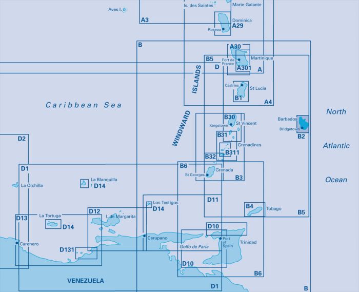
On this edition port development at Bridgetown is included. The plan of Port St Charles has been reschemed to include Port Ferdinand. The chart specification has been improved to show coloured light flashes. There has been general updating throughout.
| Artikelnummer | BD6093 |
|---|---|
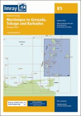
| Haupttitel | B2 Barbados |
| Untertitel | Caribbean Sea |
| ISBN | 9781786790187 |
| EAN | 9781786790187 |
| Hersteller / Verlag | Imray |
| Rückgaberecht | Gemäss unseren AGBs |
| Produkttyp | Karte |
| Medium / Produktart | Papier |
| Kategorien | Seekarte/Binnenkarte |
| Sprache | Englisch |
| Land / Region | Antillen (Kleine), Karibik, Windward-Inseln |
| Gewässer | Atlantischer Ozean, Karibisches Meer |
| Erscheinungsjahr | 2020 |
| Ausführung | Gefaltet, in Plastikmappe |
| Massstab | 1:60'000 |
| Kartentyp | 1:30'000 bis 1:300'000 |
| Kartenlänge offen (cm) | 64 |
| Kartenbreite offen (cm) | 90 |
| Gewicht (kg) | 0.13 |
| Dimension 1 (cm) | 33 |
| Dimension 2 (cm) | 24 |









Validate your login
Anmelden
Neuen Account erstellen