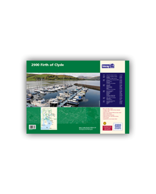
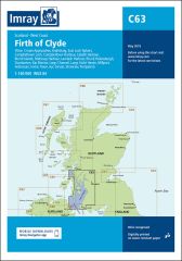
Chart pack containing seven sheets covers the popular sailing area of the Upper Clyde.
- 2900.1 The Upper Firth of Clyde and Loch Fyne
- 2900.2 Loch Fyne -Ardrishaig to Inveraray
- 2900.3 Lower Loch Fyne and Inchmarnock Water
- 2900.4 Firth of Clyde
- 2900.5 Loch Long Gareloch
- 2900.6 Kyles of Bute and Burnt Islands
- 2900.7 Lower Clyde and Approaches
| Artikelnummer | BD6534 |
|---|---|
| Haupttitel | 2900 Firth of Clyde Chart Pack |
| ISBN | 9781846234804 |
| EAN | 9781846234804 |
| Hersteller / Verlag | Imray |
| Rückgaberecht | Gemäss unseren AGBs |
| Produkttyp | Karte |
| Medium / Produktart | Papier |
| Kategorien | Seekarte/Binnenkarte |
| Sprache | Englisch |
| Land / Region | Schottland |
| Gewässer | Irische See |
| Erscheinungsjahr | 2013 |
| Ausführung | In Plastikmappe |
| Kartentyp | Kartensatz - verschiedene Massstäbe |
| Kartenlänge offen (cm) | 59 |
| Kartenbreite offen (cm) | 42 |
| Gewicht (kg) | 0.13 |
| Dimension 1 (cm) | 59 |
| Dimension 2 (cm) | 42 |
Schreibe eine Bewertung
Für dich empfohlene Produkte!









Validate your login
Anmelden
Neuen Account erstellen