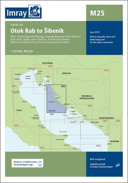
Scale: 1:220,000 WGS 84
Plans included:
Prolaz Zapuntel Passage (sketch plan)
Passage Between Otok Molat & Dugi Otok (1:60 000)
Zadar (1:25 000)
Luka Telašcica (1:45 000)
The Kornati Islands (1:50 000)
Šibenik and Rijeka Krka (1:50 000)
Prolaz Proversa Vela & Mala (1:35 000)
On this edition the limits of marine protected areas have now been added to the chart. The sketch plan of Prolaz Proversa Vela & Mala has been replaced with a fully georeferenced WGS84-compatible plan. The chart specification has been improved to show coloured light flashes. There has been general updating throughout.
| REF | BD2906 |
|---|---|
| Nom de produit | M25 Otok Rab to Sibenik |
| Short Description | Adriatic Sea |
| ISBN | 9781846239045 |
| EAN | 9781846239045 |
| Fabricant / éditeur | Imray |
| Droit de retour | Selon nos termes et conditions |
| Type de produit | Carte |
| Type de produit | Papier |
| Catégories | Carte nautique |
| Langue | Anglais |
| Pays / Région | Croatie |
| Eaux | Adria |
| Année de publication | 2017 |
| Mis à jour | 2022 |
| Type de reliure | Pliées en portefeuille plastique |
| Échelle de la carte | 1:220'000 |
| Type de cartes nautiques | 1:30'000 bis 1:300'000 |
| Longueur de la carte ouverte (cm) | 64,0 |
| Largeur de la carte ouverte (cm) | 90,0 |
| Poids (kg) | 0.13 |
| Dimension 1 (cm) | 33 |
| Dimension 2 (cm) | 24 |


Validate your login
Se connecter
Créer un nouveau compte