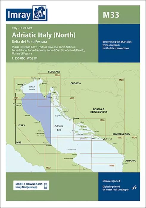
Plans included:
Ravenna Coast (1:50 000)
Porto di Ravenna (1:20 000)
Porto di Rimini (1:10 000)
Porto di Fano (1:7500)
Porto di Ancona (1:25 000)
Porto di San Benedetto del Tronto (1:10 000)
Marina di Pescara (1:15 000)
For this edition the chart has been fully updated throughout showing revised depths where required. Various harbour developments are shown at Porto di Ravenna, Porto di Rimini, Porto di Ancona and Marina di Pescara. The plan of Ancona Coast has been removed and replaced with two new harbour plans - Porto di Fano and Porto di San Benedetto del Tronto. The sketch plan of Pescara has been replaced with a fully georeferenced WGS84-compatible plan.
| REF | BD2913 |
|---|---|
| Nom de produit | M33 Adriatic Italy North |
| Short Description | Delta del Po to Pescara |
| ISBN | 9781846237010 |
| EAN | 9781846237010 |
| Fabricant / éditeur | Imray |
| Droit de retour | Selon nos termes et conditions |
| Type de produit | Carte |
| Type de produit | Papier |
| Catégories | Carte nautique |
| Langue | Anglais |
| Pays / Région | Italie |
| Eaux | Adria |
| Année de publication | 2015 |
| Mis à jour | 2023 |
| Type de reliure | Pliées en portefeuille plastique |
| Échelle de la carte | 1:350'000 |
| Type de cartes nautiques | 1:300'000 bis 1:1'600'000 |
| Longueur de la carte ouverte (cm) | 64,0 |
| Largeur de la carte ouverte (cm) | 90,0 |
| Poids (kg) | 0.13 |
| Dimension 1 (cm) | 33 |
| Dimension 2 (cm) | 24 |







Validate your login
Se connecter
Créer un nouveau compte