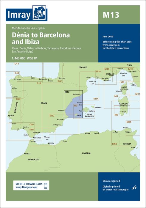
Scale: 1:440,000 WGS 84
Plans included:
Dénia (1:20 000)
Valencia Harbour (1:35 000)
Tarragona (1:25 000)
Barcelona Harbour (1:65 000)
San Antonio (Ibiza) (1:30 000)
For this edition the chart has been fully updated with the latest known depths, navigational aids, and areas and limits. Numerous port developments are shown at the harbours of Valencia, Tarragona and Barcelona. The main chart extent has been adjusted slightly for a better fit on the printed sheet, and the Valencia Harbour plan has been rescaled to 1:35 000 in order to show the recent port extension.”
| REF | BD2749 |
|---|---|
| Nom de produit | M13 Dénia to Barcelona and Ibiza |
| ISBN | 9781846237638 |
| EAN | 9781846237638 |
| Fabricant / éditeur | Imray |
| Droit de retour | Selon nos termes et conditions |
| Type de produit | Carte |
| Type de produit | Papier |
| Catégories | Carte nautique |
| Langue | Anglais |
| Pays / Région | Espagne |
| Eaux | Mer Méditerranée |
| Année de publication | 2016 |
| Mis à jour | 2021 |
| Type de reliure | Pliées en portefeuille plastique |
| Échelle de la carte | 1:440'000 |
| Type de cartes nautiques | 1:300'000 bis 1:1'600'000 |
| Longueur de la carte ouverte (cm) | 64,0 |
| Largeur de la carte ouverte (cm) | 90,0 |
| Poids (kg) | 0.13 |
| Dimension 1 (cm) | 33 |
| Dimension 2 (cm) | 24 |







Validate your login
Se connecter
Créer un nouveau compte