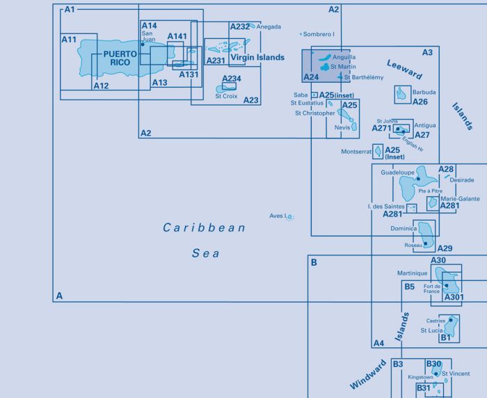
Imray-Iolaire charts for Caribbean are widely acknowledged as the best available for the cruising sailor. They combine the latest official survey data with first-hand information gathered over 60 years of research by Don Street Jr and his wide network of contributors. Like all Imray charts, they are printed on water resistant Pretex paper for durability, and they include many anchorages, facilities and inlets not included on official charts.
On this edition there has been general updating throughout. The inset plan of Anse de Marigot has been replaced by a new plan of Anse de Grand Fond (St Barthélémy).
Plans included:
Prickly Pear Cays (1:30 000)
Shoal Bay & Island Harbour (Anguilla) (1:50 000)
Crocus Bay (Anguilla) (1:15 000)
Road Bay (Anguilla) (1:12 000)
Simpson Bay Lagoon and Baie de Marigot (Saint Martin) (1:30 000)
Great Bay (Sint Maarten) (1:15 000)
Oyster Pond (Sint Maarten) (1:10 000)
Port de Gustavia (Saint Barthélémy) (1:15 000)
Anse de Grand Fond (Saint Barthélémy) (1:40 000)
| REF | BD6080 |
|---|---|
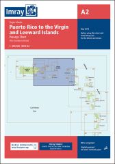
| Nom de produit | A24 Anguilla, St Martin and St Barthélémy |
| ISBN | 9781846238376 |
| EAN | 9781846238376 |
| Fabricant / éditeur | Imray |
| Droit de retour | Selon nos termes et conditions |
| Type de produit | Carte |
| Type de produit | Papier |
| Catégories | Carte nautique |
| Langue | Anglais |
| Pays / Région | Antilles (Petites), Caraïbes, Îles Sous-le-Vent |
| Eaux | Océan Atlantique, Mer des Caraïbes |
| Année de publication | 2016 |
| Mis à jour | 2023 |
| Type de reliure | Pliées en portefeuille plastique |
| Échelle de la carte | 1:100'000 |
| Type de cartes nautiques | 1:30'000 bis 1:300'000 |
| Longueur de la carte ouverte (cm) | 64 |
| Largeur de la carte ouverte (cm) | 90 |
| Poids (kg) | 0.13 |
| Dimension 1 (cm) | 90 |
| Dimension 2 (cm) | 24 |






Validate your login
Se connecter
Créer un nouveau compte