Waddenzee (Westblad) und angrenzende Noordzeekust
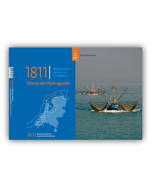
Kartenserie 1811 (Ausgabe 2018)
Netherlands Hydrographic Office
Netherlands Hydrographic Office Small Craft Charts.
The 1800 series charts are produced by the Netherlands Hydrographic Office for smaller SOLAS shipping (Safety Of Life At Sea) and recreational purposes. The series consist of 8 atlases with an average of 9 charts (loose-leaf) within each set. The charts cover the Netherlands and Belgian coasts, the Wadden Sea, the IJsselmeer and the Zeeland delta area.
Each atlas contains an overall chart of the coverage as well as area enlargements at large scale with plans. They are essential to navigators entering Dutch waters and onward to the inland waterways system.
This chart is no longer published annually but at intervals to be announced.
Der Kartensatz des Niederländischen Dienstes der Hydrographie enthält Blätter im Format 52 × 38 cm (klassisches Sportbootkartenformat: DIN A2) mit übersichtlichen Karten verschiedener Massstäbe.
Zweisprachige Ausgabe: Niederländisch / Englisch
Auflage 2018, in DIN A2-Kunststofftasche, Format 52 x 38 cm, in Klarsichthülle
| REF | BD6057 |
|---|---|
| Nom de produit | Waddenzee (Westblatt) und angrenzende Nordseeküste |
| Short Description | Kartenserie 1811 |
| ISBN | 8717073815234 |
| EAN | 8717073815234 |
| Type de produit | Carte |







Validate your login
Se connecter
Créer un nouveau compte