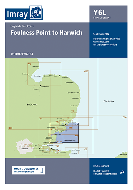
This chart is a replica of Imray chart 2000.1 covering coastal navigation from Foulness Point to Harwich. It is printed on water resistant paper.
This sheet was reschemed for the 2022 edition. It includes the latest official UKHO data, combined with additional information sourced from Imray's network to make it ideal for small craft. The chart has been fully revised throughout.
| REF | BD6831 |
|---|---|
| Nom de produit | Y6 Foulness Point to Harwich (Small Format) |
| ISBN | 9781786794246 |
| EAN | 9781786794246 |
| Fabricant / éditeur | Imray |
| Droit de retour | Selon nos termes et conditions |
| Type de produit | Carte |
| Type de produit | Papier |
| Catégories | Carte nautique |
| Langue | Anglais |
| Pays / Région | Angleterre |
| Eaux | Mer du Nord |
| Année de publication | 2022 |
| Type de reliure | Pliées en portefeuille plastique |
| Échelle de la carte | 1:120'000 |
| Type de cartes nautiques | 1:30'000 bis 1:300'000 |
| Longueur de la carte ouverte (cm) | 59 |
| Largeur de la carte ouverte (cm) | 42 |
| Dimension 1 (cm) | 24 |
| Dimension 2 (cm) | 33 |
Rédigez votre propre commentaire






Validate your login
Se connecter
Créer un nouveau compte