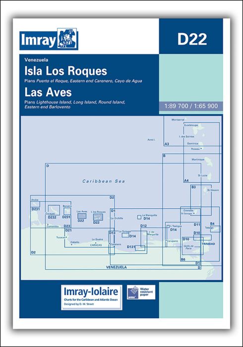
Imray-Iolaire charts for Caribbean are widely acknowledged as the best available for the cruising sailor. They combine the latest official survey data with first-hand information gathered over 60 years of research by Don Street Jr and his wide network of contributors. Like all Imray charts, they are printed on water resistant Pretex paper for durability, and they include many anchorages, facilities and inlets not included on official charts.
Venezuela
Isla los Roques 1:89,700
Plans include:
Puerto el Roque
Eastern end of Carenero
Cayo de Agua
Isla de Aves 1:64,950
Plans include:
Lighthouse Island
Long Island
Round Island
Eastern end Barlovento
| REF | BD6118 |
|---|---|
| Nom de produit | D22 Isla los Roques and Isla de Aves |
| ISBN | 9780852889343 |
| EAN | 9780852889343 |
| Fabricant / éditeur | Imray |
| Droit de retour | Selon nos termes et conditions |
| Type de produit | Carte |
| Type de produit | Papier |
| Catégories | Carte nautique |
| Langue | Anglais |
| Pays / Région | Antilles (Petites), Caraïbes |
| Eaux | Mer des Caraïbes |
| Année de publication | 2006 |
| Mis à jour | 2006 |
| Type de reliure | Pliées en portefeuille plastique |
| Type de cartes nautiques | 1:30'000 bis 1:300'000 |
| Longueur de la carte ouverte (cm) | 64 |
| Largeur de la carte ouverte (cm) | 90 |
| Poids (kg) | 0.13 |
| Dimension 1 (cm) | 33 |
| Dimension 2 (cm) | 24 |


Validate your login
Se connecter
Créer un nouveau compte