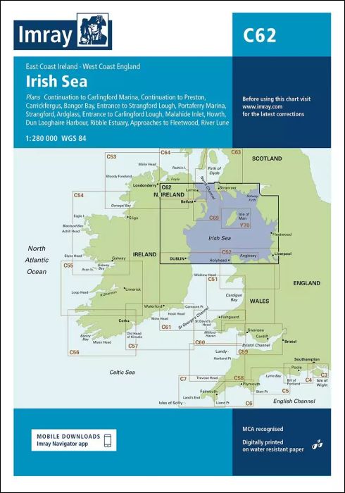
Plans included:
Carrickfergus (1:15 000)
Bangor Bay (1:17 500)
Entrance to Strangford Lough (1:37 500)
Portaferry Marina (1:7500)
Strangford (1:5000)
Ardglass (1:15 000)
Entrance to Carlingford Lough (1:26 000)
Malahide Inlet (1:35 000)
Howth (1:12 500)
Dun Laoghaire Harbour (1:15 000)
Ribble Estuary (1:125 000)
Approaches to Fleetwood (1:50 000)
River Lune (1:100 000)
Continuation to Carlingford Marina (1:40 000)
Continuation to Preston (1:125 000)
On this edition the chart specification has been improved to show coloured light flashes. Updated bathymetric data has been included where available. The firing practice areas have been updated. There has been general updating throughout.
| REF | BD2873 |
|---|---|
| Nom de produit | C62 Irish Sea |
| ISBN | 9781786791917 |
| EAN | 9781786791917 |
| Fabricant / éditeur | Imray |
| Droit de retour | Selon nos termes et conditions |
| Type de produit | Carte |
| Type de produit | Papier |
| Catégories | Carte nautique |
| Langue | Anglais |
| Pays / Région | Angleterre, Irlande, Écosse |
| Eaux | Mer d'Irlande |
| Année de publication | 2020 |
| Mis à jour | 2023 |
| Type de reliure | Pliées en portefeuille plastique |
| Échelle de la carte | 1:280'000 |
| Type de cartes nautiques | 1:30'000 bis 1:300'000 |
| Longueur de la carte ouverte (cm) | 78,7 |
| Largeur de la carte ouverte (cm) | 111,8 |
| Poids (kg) | 0.13 |
| Dimension 1 (cm) | 33 |
| Dimension 2 (cm) | 24 |







Validate your login
Se connecter
Créer un nouveau compte