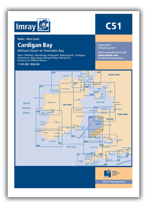
Plans included:
Pwllheli (1:12 500)
Aberdovey (1:25 000)
Aberystwyth (1:15 000)
Aberaeron (1:20 000)
New Quay (1:20 000)
Aberporth (1:30 000)
Cardigan (1:40 000)
Newport Bay (1:35 000)
Fishguard (1:18 000)
Entrance to Milford Haven (1:30 000)
On this edition the chart has been fully updated throughout. Revised depths are shown at Aberdovey, Fishguard, the waters south of St David’s Head and in the entrance to Milford Haven.
| REF | BD2862 |
|---|---|
| Nom de produit | C51 Cardigan Bay |
| Short Description | Milford Haven to Tremadoc Bay |
| ISBN | 9781786794970 |
| EAN | 9781786794970 |
| Fabricant / éditeur | Imray |
| Droit de retour | Selon nos termes et conditions |
| Type de produit | Carte |
| Type de produit | Papier |
| Catégories | Carte nautique |
| Langue | Anglais |
| Pays / Région | Angleterre |
| Eaux | Mer Celtique |
| Année de publication | 2023 |
| Type de reliure | Pliées en portefeuille plastique |
| Échelle de la carte | 1:45'000 |
| Type de cartes nautiques | 1:30'000 bis 1:300'000 |
| Longueur de la carte ouverte (cm) | 87,7 |
| Largeur de la carte ouverte (cm) | 111,8 |
| Poids (kg) | 0.13 |
| Dimension 1 (cm) | 33 |
| Dimension 2 (cm) | 24 |
Rédigez votre propre commentaire


Validate your login
Se connecter
Créer un nouveau compte