Plans included:
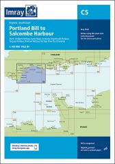
Portland Harbour (1:20 000)
Weymouth Harbour (1:7500)
Lulworth Cove (1:4500)
Worbarrow Bay (1:15 000)
Chapman’s Pool (1:14 500)
Swanage (1:12 500)
Studland Bay (1:17 000)
Christchurch (1:20 000)
Continuation of River Stour (1:7500)
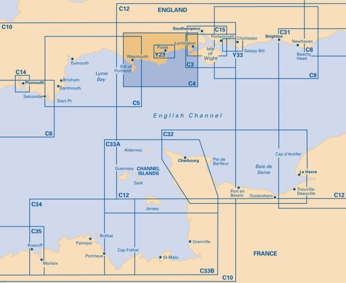
This chart has been reschemed to provide coverage at a larger scale (1:60 000). The latest official UKHO data is included, combined with additional information sourced from Imray's network to make it ideal for small craft. The chart has been fully revised throughout.
| REF | BD2829 |
|---|---|
| Nom de produit | C4 Christchurch to Portland Bill |
| ISBN | 9781786793478 |
| EAN | 9781786793478 |
| Fabricant / éditeur | Imray |
| Droit de retour | Selon nos termes et conditions |
| Type de produit | Carte |
| Type de produit | Papier |
| Catégories | Carte nautique |
| Langue | Anglais |
| Pays / Région | Angleterre |
| Eaux | Manche (mer) |
| Année de publication | 2022 |
| Type de reliure | Pliées en portefeuille plastique |
| Échelle de la carte | 1:30'000 |
| Type de cartes nautiques | 1:30'000 bis 1:300'000 |
| Longueur de la carte ouverte (cm) | 78,7 |
| Largeur de la carte ouverte (cm) | 111,8 |
| Poids (kg) | 0.13 |
| Dimension 1 (cm) | 33 |
| Dimension 2 (cm) | 24 |






Validate your login
Se connecter
Créer un nouveau compte