Plans included:
Wick Bay (1:10 000)
Helmsdale (1:10 000)
Inverness Firth (1:75 000)
Nairn (1:7500)
Burghead (1:8000)
Hopeman (1:7500)
Lossiemouth (1:7500)
Buckie (1:15 000)
Banff & Macduff (1:25 000)
Fraserburgh (1:7500)
Peterhead (1:17 500)
Aberdeen (1:20 000)
Stonehaven (1:17 500)
Montrose (1:12 500)
Arbroath (1:15 000)
Inverness (1:25 000)
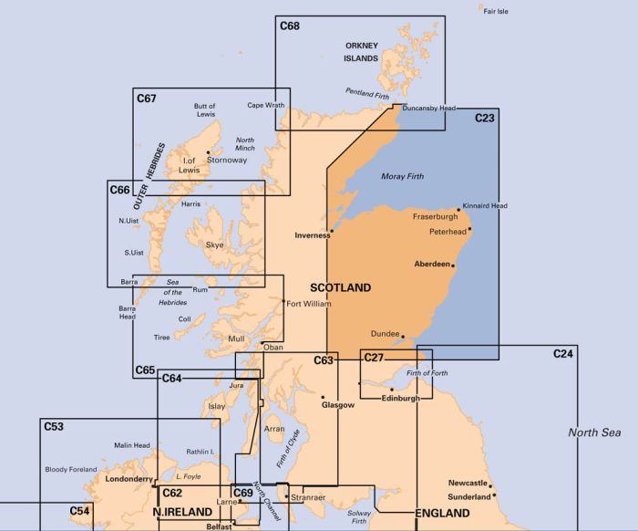
On this edition, the latest depths have been included where available. The main chart has been extended East so to include the Hywind 2 Floating Wind Farm. The chart specification has been improved to show coloured light flashes. There has been general updating throughout.
printed and corrected to February 2021
| REF | BD2842 |
|---|---|
| Nom de produit | C23 Fife Ness to Moray Firth |
| ISBN | 9781846239328 |
| EAN | 9781846239328 |
| Fabricant / éditeur | Imray |
| Droit de retour | Selon nos termes et conditions |
| Type de produit | Carte |
| Type de produit | Papier |
| Catégories | Carte nautique |
| Langue | Anglais |
| Pays / Région | Écosse |
| Eaux | Mer du Nord |
| Année de publication | 2021 |
| Type de reliure | Pliées en portefeuille plastique |
| Échelle de la carte | 1:250'000 |
| Type de cartes nautiques | 1:30'000 bis 1:300'000 |
| Longueur de la carte ouverte (cm) | 78,7 |
| Largeur de la carte ouverte (cm) | 111,8 |
| Poids (kg) | 0.13 |
| Dimension 1 (cm) | 33 |
| Dimension 2 (cm) | 24 |





Validate your login
Se connecter
Créer un nouveau compte