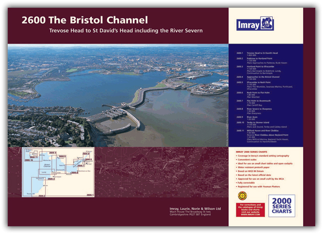
2600.1 Trevose Head to St David’s Head
1:450 000
2600.2 Padstow to Hartland Point
1:120 000
Plans: Approaches to Padstow, Bude Haven
2600.3 Hartland to Ilfracombe
1:140 000
Plans: Barnstaple to Bideford, Lundy, Continuation to Barnstaple
2600.4 Approaches to the Bristol Channel
1:130 000
2600.5 Ilfracombe to Nash Point
1:130, 000
Plans: The Mumbles, Swansea Marina, Porthcawl, Ilfracombe
2600.6 Nash Point to Flat Holm
1:80 000
Plans: Watchet
2600.7 Flat Holm to Avonmouth
1:70 000
Plans: Cardiff Bay
2600.8 River Severn to Sharpness
1:50 000
Plans: Sharpness
2600.9 River Avon
1: 20 000
Plans: River Avon (continuation)
2600.10 Tenby to Skomer Island
1:135 000
Plans: Jack Sound, Tenby & Caldey Island
2600.11 Milford Haven - St Ann’s Head to Neyland Point
1:30 000
Plans: Milford Marina
2600.12 River Cleddau - above Neyland Point
1:25 000
Plans: Neyland Yacht Haven, Continuation to Haverfordwest
| REF | BD2757 |
|---|---|
| Nom de produit | 2600 Bristol Channel Chart Pack |
| Short Description | Trevose Head to St David's Head including the River Severn |
| ISBN | 9781846238604 |
| EAN | 9781846238604 |
| Fabricant / éditeur | Imray |
| Droit de retour | Selon nos termes et conditions |
| Type de produit | Carte |
| Type de produit | Papier |
| Catégories | Carte nautique |
| Langue | Anglais |
| Pays / Région | Angleterre |
| Eaux | Canal de Bristol, Mer Celtique |
| Année de publication | 2016 |
| Type de reliure | Reliure à spirale |
| Type de cartes nautiques | Jeu de cartes - différentes échelles |
| Poids (kg) | 0.676 |
| Dimension 1 (cm) | 42,0 |
| Dimension 2 (cm) | 59,0 |







Validate your login
Se connecter
Créer un nouveau compte