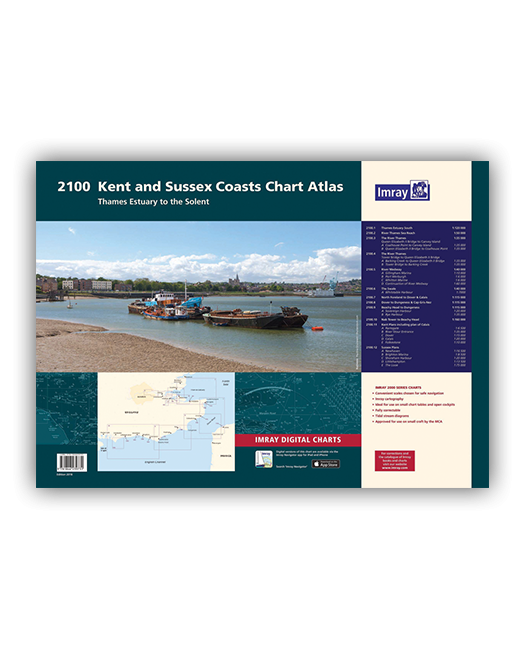
2100.1 Thames Estuary South
1: 120 000
2100.2 River Thames Sea Reach
1: 50 000
2100.3 The River Thames - Queen Elizabeth Bridge to Canvey Island
1: 35 000
Plans: Coalhouse Point to Canvey Island, Queen Elizabeth II Bridge to Coalhouse Point
2100.4 The River Thames - Tower Bridge to Queen Elizabeth Bridge
1: 35 000
Plans: Barking Creek to Queen Elizabeth II Bridge, Tower Bridge to Barking Creek
2100.5 River Medway
1: 40 000
Plans: Gillingham Marina, Port Werburgh, Whitton Marine, Continuation of River Medway
2100.6 The Swale
1: 40 000
Plans: Whitstable Harbour
2100.7 North Foreland to Dover & Calais
1: 115 000
2100.8 Dover to Dungeness & Cap Gris-Nez
1: 115 000
2100.9 Beachy Head to Dungeness
1: 115 000
Plans: Sovereign Harbour, Rye Harbour
2100.10 Nab Tower to Beachy Head
1: 160 000
2100.11 Kent Plans - including plan of Calais
1: various
Plans: Ramsgate, River Stour Entrance, Dover, Calais, Folkestone
2100.12 Sussex Plans
1: various
Plans: Newhaven, Brighton Marina, Shoreham Harbour, Littlehampton, The Looe
| REF | BD2752 |
|---|---|
| Nom de produit | 2100 Kent and Sussex Coasts Chart Pack |
| Short Description | Thames Estuary to the Solent |
| ISBN | 9781846239731 |
| EAN | 9781846239731 |
| Fabricant / éditeur | Imray |
| Droit de retour | Selon nos termes et conditions |
| Type de produit | Carte |
| Type de produit | Papier |
| Catégories | Carte nautique |
| Langue | Anglais |
| Pays / Région | Angleterre |
| Eaux | Manche (mer), Mer du Nord |
| Année de publication | 2018 |
| Type de reliure | Reliure à spirale |
| Type de cartes nautiques | Jeu de cartes - différentes échelles |
| Poids (kg) | 0.676 |
| Dimension 1 (cm) | 42,0 |
| Dimension 2 (cm) | 59,0 |







Validate your login
Se connecter
Créer un nouveau compte