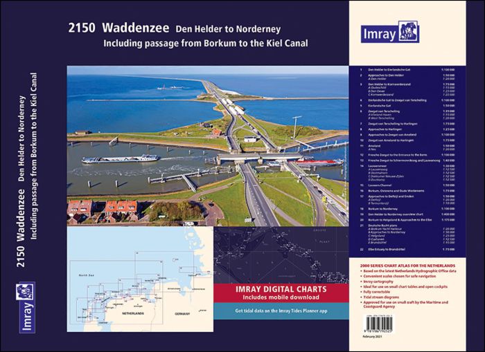
Part of Imray’s popular small format chart coverage for the Netherlands, this atlas is a convenient A2 format, wirobound along one edge.
Imray Digital Charts: Mobile download
A voucher code to download ID10 Imray North Sea charts into Imray Navigator (our app for iPad, iPhone and Android) is included with this atlas.
In addition to detailed coverage of the area from Den Helder to Nordeney, the atlas includes passage to the Kiel Canal.
Included in the atlas are all the navigational charts and tidal data required for passage and approach.
- Den Helder to Eierlandsche Gat (1:100 000)
- Approaches to Den Helder (1:50 000) includes plan Den Helder (1:20 000)
- Den Helder to Kornwerderzand (1:75 000) includes plans Oudeschild (1:15 000), Den Oever (1:25 000) and Kornwerderzand (1:25 000)
- Eierlandsche Gat to Zeegat van Terschelling (1:100 000)
- Eierlandsche Gat (1:50 000)
- Zeegat van Terschelling (1:35 000) includes plans Vlieland Haven (1:15 000) and West-Terschelling (1:20 000)
- Zeegat van Terschelling to Harlingen (1:75 000)
- Approaches to Harlingen (1:25 000)
- Approaches to Zeegat van Ameland (1:100 000)
- Zeegat van Ameland to Harlingen (1:75 000)
- Ameland (1:50 000) includes plan Nes (1:20 000)
- Friesche Zeegat to the Entrance to the Eems (1:100 000)
- Friesche Zeegat to Schiermonnikoog and Lauwersoog (1:40 000)
- Lauwersmeer (1:30 000) includes plans Lauwersoog (1:12 500), Oostmahorn (1:12 500), Dokkumer Nieuwe Zijlen (1:12 500), Zoutkamp (1:12 500)
- Lauwers Channel (1:50 000)
- Borkum, Osterems and Oude Westereems (1:75 000)
- Approaches to Delfzijl and Emden (1:50 000) includes plans Delfzijl (1:20 000) and Termunterzijl (1:10 000)
- Borkum to Norderney (1:100 000)
- Den Helder to Norderney overview chart (1:400 000)
- Borkum to Helgoland & Approaches to the Elbe (1:175 000)
- Deutsche Bucht Plans – Borkum Yacht Harbour (1:20 000), Approaches to Norderney (1:50 000), Helgoland (1:25 000), Cuxhaven (1:12 500), Brunsbüttel (1:15 000)
- Elbe Estuary to Brunsbüttel (1:75 000)
"An impressive set of maps reflecting the publisher’s expertise in the field. Very clear, fit for purpose cartography that is comprehensive in its coverage of the subject area. A modern, clean look and feel with easily distinguishable colours and clear symbology." British Cartographic Society award judges
| REF | 10166 |
|---|---|
| Nom de produit | 2150 Waddenzee - Den Helder to Norderney Chart Atlas 2021 |
| Short Description | Including passage from Borkum to the Kiel Canal |
| ISBN | 9781786792525 |
| EAN | 9781786792525 |
| Fabricant / éditeur | Imray |
| Droit de retour | Selon nos termes et conditions |
| Type de produit | Carte |
| Type de produit | Download, Carte de licence, Papier |
| Catégories | Carte nautique |
| Langue | Anglais |
| Pays / Région | Allemagne, Pays-Bas |
| Eaux | Mer du Nord |
| Année de publication | 2021 |
| Type de reliure | Reliure à spirale |
| Type de cartes nautiques | Jeu de cartes - différentes échelles |
| Plate-forme | Android, iOS |
| Poids (kg) | 0.13 |
| Dimension 1 (cm) | 59,4 |
| Dimension 2 (cm) | 42,5 |






Validate your login
Se connecter
Créer un nouveau compte