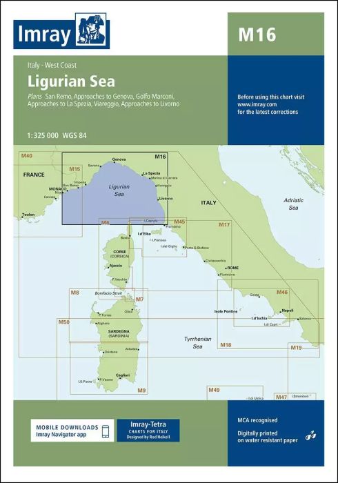
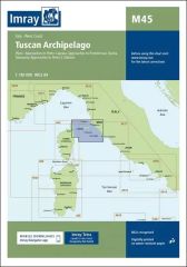
Scale: 1:325,000 WGS 84
Plans included:
San Remo (1:15 000)
Approaches to Genova (1:75 000)
Golfo Marconi (1:40 000)
Approaches to La Spezia (1:37 500)
Viareggio (1:20 000)
Approaches to Livorno (1:50 000)
On this edition the latest information on firing practice areas is shown, as are the latest details of Marine Reserves. Harbour developments are shown on plans of Livorno, La Spezia and Golfo Marconi.
| SKU | BD2897 |
|---|---|
| Product Name | M16 Ligurian Sea |
| ISBN | 9781846238444 |
| EAN | 9781846238444 |
| Manufacturer / Publisher | Imray |
| Refund policy | According to our AGB |
| Product type | Map |
| Medium / product type | Paper |
| Categories | Nautical chart |
| Language | English |
| Country / Region | France, Italy |
| Waters | Ligurian Sea, Mediterranean Sea |
| Publishing year | 2016 |
| Updated | 2023 |
| Binding type | Folded in plastic wallet |
| Map scale | 1:325'000 |
| Charts type | 1:300'000 bis 1:1'600'000 |
| Card length open (cm) | 64,0 |
| card width open (cm) | 90,0 |
| Weight (kg) | 0.13 |
| Dimension 1 (cm) | 33 |
| Dimension 2 (cm) | 24 |
Write Your Own Review
We found other products you might like!



Validate your login
Sign In
Create New Account