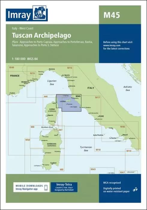
Scale: 1:180 000 WGS 84
Plans included:
Approaches to Porto Capraia (1:25 000)
Approaches to Portoferraio (1:30 000)
Bastia (1:17 500)
Talamone (1:35 000)
Approaches to Porto S. Stefano (1:15 000)
For this edition the chart has been fully updated throughout with amendments to navigational aids, cables, restricted areas and harbour developments.
| SKU | BD2916 |
|---|---|
| Product Name | M45 Tuscan Archipelago |
| ISBN | 9781846237133 |
| EAN | 9781846237133 |
| Manufacturer / Publisher | Imray |
| Refund policy | According to our AGB |
| Product type | Map |
| Medium / product type | Paper |
| Categories | Nautical chart |
| Language | English |
| Waters | Mediterranean Sea, Tyrrhenian Sea |
| Publishing year | 2015 |
| Updated | 2023 |
| Binding type | Folded in plastic wallet |
| Map scale | 1:180'000 |
| Charts type | 1:300'000 bis 1:1'600'000 |
| Card length open (cm) | 64,0 |
| card width open (cm) | 90,0 |
| Weight (kg) | 0.13 |
| Dimension 1 (cm) | 33 |
| Dimension 2 (cm) | 24 |
Write Your Own Review
We found other products you might like!


Validate your login
Sign In
Create New Account