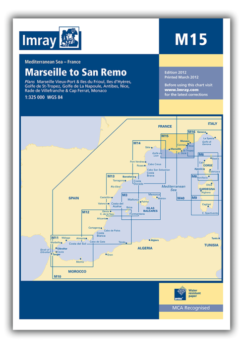
Plans included:
Marseille Vieux-Port & Îles du Frioul (1:35 000)
Îles d’Hyères (1:135 000)
Golfe de St-Tropez (1:70 000)
Golfe de La Napoule (1:60 000)
Antibes (1:15 000)
Nice, Rade de Villefranche & Cap Ferrat (1:30 000)
Monaco (1:20 000)
On this edition regulated areas have been updated throughout. Revised depths have been applied where appropriate.
| SKU | BD2896 |
|---|---|
| Product Name | M15 Marseille to San Remo |
| ISBN | 9781846236938 |
| EAN | 9781846236938 |
| Manufacturer / Publisher | Imray |
| Refund policy | According to our AGB |
| Product type | Map |
| Medium / product type | Paper |
| Categories | Nautical chart |
| Language | English |
| Country / Region | France, Italy |
| Waters | Mediterranean Sea |
| Publishing year | 2018 |
| Binding type | Folded in plastic wallet |
| Map scale | 1:325'000 |
| Charts type | 1:300'000 bis 1:1'600'000 |
| Card length open (cm) | 64,0 |
| card width open (cm) | 90,0 |
| Weight (kg) | 0.13 |
| Dimension 1 (cm) | 33 |
| Dimension 2 (cm) | 24 |
Write Your Own Review


Validate your login
Sign In
Create New Account