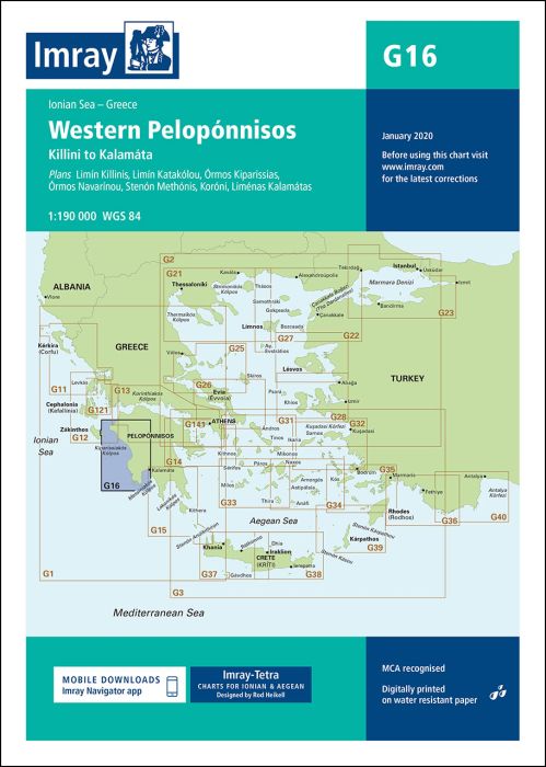
Scale: 1:190 000 WGS 84
Plans included:
Limín Killinis (1:12 500)
Limín Katakólou (1:20 000)
Órmos Kiparissias (1:7500)
Órmos Navarínou (1:30 000)
Stenón Methónis (1:20 000)
Liménas Kalamatás (1:12 500)
On this edition the chart specification has been improved to show coloured light flashes. A harbour plan of Koróni is now included on this chart. The latest depth surveys have been included where available. Submarine cables and firing practice areas have been updated. There has been general updating throughout.
printed and corrected to January 2021
| SKU | BD2928 |
|---|---|
| Product Name | G16 Western Peloponnisos |
| Short Description | Killini to Kalamáta |
| ISBN | 9781786790811 |
| EAN | 9781786790811 |
| Manufacturer / Publisher | Imray |
| Refund policy | According to our AGB |
| Product type | Map |
| Medium / product type | Paper |
| Categories | Nautical chart |
| Language | English |
| Country / Region | Greece |
| Waters | Ionian Sea |
| Publishing year | 2019 |
| Updated | 2021 |
| Binding type | Folded in plastic wallet |
| Map scale | 1:190'000 |
| Charts type | 1:30'000 bis 1:300'000 |
| Card length open (cm) | 64,0 |
| card width open (cm) | 90,0 |
| Weight (kg) | 0.13 |
| Dimension 1 (cm) | 33 |
| Dimension 2 (cm) | 24 |
Write Your Own Review
We found other products you might like!







Validate your login
Sign In
Create New Account