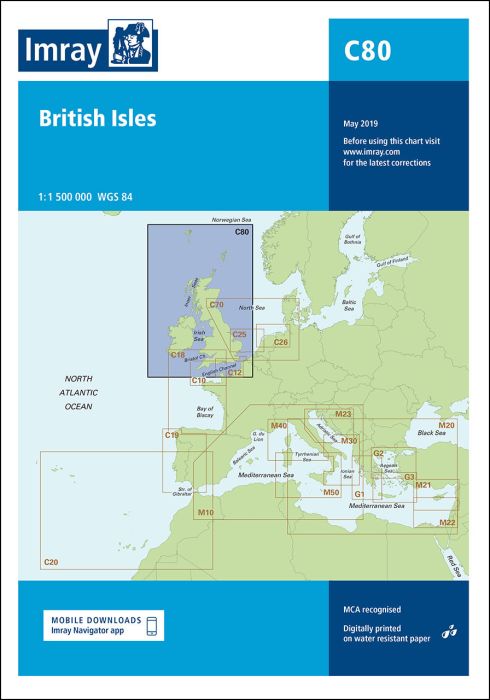
Scale: 1:1 500 000 WGS 84
A new addition to Imray’s C chart series, this chart provides an overview of Britain, Ireland and adjacent islands including Orkney and Shetland. Coverage also extends further north to encompass the Faeroe Islands.
| SKU | BD6967 |
|---|---|
| Product Name | Imray - C80 British Isles |
| ISBN | 9781786790392 |
| EAN | 9781786790392 |
| Manufacturer / Publisher | Imray |
| Refund policy | According to our AGB |
| Product type | Map |
| Medium / product type | Paper |
| Categories | Nautical chart |
| Language | English |
| Country / Region | Denmark, England, Ireland |
| Waters | Atlantic Ocean, North Sea |
| Publishing year | 2019 |
| Binding type | Folded in plastic wallet |
| Map scale | 1:1'500'000 |
| Charts type | 1:300'000 bis 1:1'600'000 |
| Card length open (cm) | 78,7 |
| card width open (cm) | 111,8 |
| Weight (kg) | 0.13 |
| Dimension 1 (cm) | 24 |
| Dimension 2 (cm) | 33 |
Write Your Own Review
We found other products you might like!


Validate your login
Sign In
Create New Account