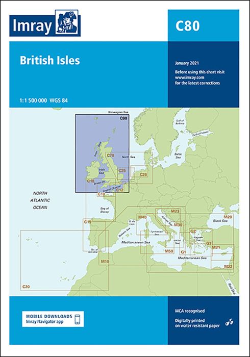
On this edition the magnetic variation curves have been updated with 2020 data. Under new royalty terms, the DGA (Danish Geodata Agency) have made it unviable to reproduce their copyrighted data. All DGA data has been removed from this chart. There has been general updating throughout.
| SKU | 10168 |
|---|---|
| Product Name | C80 British Isles |
| ISBN | 9781786792501 |
| EAN | 9781786792501 |
| Manufacturer / Publisher | Imray |
| Refund policy | According to our AGB |
| Product type | Map |
| Medium / product type | Paper |
| Categories | Nautical chart |
| Language | English |
| Country / Region | England, Ireland, Scotland |
| Waters | English Channel, Atlantic Ocean, Irish Sea, Celtic Sea |
| Publishing year | 2022 |
| Binding type | Folded in plastic wallet |
| Map scale | 1:1'500'000 |
| Charts type | 1:300'000 bis 1:1'600'000 |
| Card length open (cm) | 1118 mm |
| card width open (cm) | 787 mm |
| Weight (kg) | 0.13 |
Write Your Own Review
We found other products you might like!


Validate your login
Sign In
Create New Account