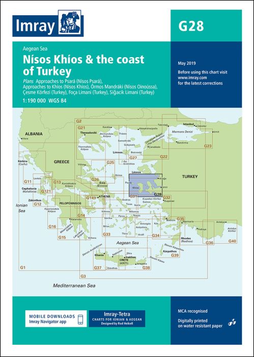
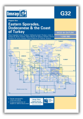
Scale: 1:190,000 WGS 84
Plans included:
Approaches to Psará (Nísos Psará) (1:15,000)
Approaches to Khíos (Nísos Khíos) (1:20,000)
Órmos Mandráki (Nísos Oinoússa) (1:8,000)
Çesme Körfezi (Turkey) (1:18,000)
Foça Limani (Turkey) (1:20,000)
Sigaçik Limani (Turkey) (1:18,000)
On this edition full details of the new TSS schemes are shown at Izmir Körfezi, Çandarli Körfezi and Nemrut Koyu- revised depths and harbour developments are shown at Psará, Khíos, Çesme and Foça- the Sigaçik Limani sketch plan has been replaced with a fully WGS84-compatible version- the latest known depths, restricted areas and marine farms have been applied to the main chart- and details of the recently deployed AIS transmitters are shown across the chart.
printed and corrected to January 2021
| Cod.Art. | BD2936 |
|---|---|
| Nome prodotto | G28 Nísos Khíos & the Coast of Turkey |
| ISBN | 9781786790156 |
| EAN | 9781786790156 |
| Produttore / Editore | Imray |
| Diritto alla restituzione | Secondo i nostri termini e condizioni |
| Tipo di prodotto | Carta |
| Tipologia di prodotto | Carta |
| Categorie | Carta nautica |
| Lingua | Inglese |
| Paese / Regione | Grecia, Sporadi del sud, Turchia |
| Acque | Mar Egeo |
| Anno di pubblicazione | 2018 |
| Aggiornata | 2021 |
| Tipo di rilegatura | Piegato, in una cartella di plastica |
| Scala della carta | 1:190'000 |
| Tipo di carte nautiche | 1:30'000 bis 1:300'000 |
| Lunghezza della carta aperta (cm) | 64 |
| Larghezza della carta aperta (cm) | 90 |
| Peso (kg) | 0.13 |
| Dimension 1 (cm) | 33 |
| Dimension 2 (cm) | 24 |



Validate your login
Registrati
Creare un nuovo account