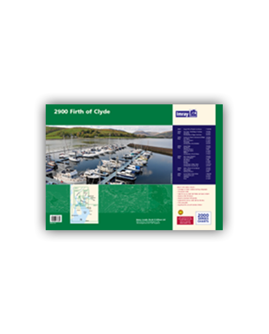
Chart pack containing seven sheets covers the popular sailing area of the Upper Clyde.
- 2900.1 The Upper Firth of Clyde and Loch Fyne
- 2900.2 Loch Fyne -Ardrishaig to Inveraray
- 2900.3 Lower Loch Fyne and Inchmarnock Water
- 2900.4 Firth of Clyde
- 2900.5 Loch Long Gareloch
- 2900.6 Kyles of Bute and Burnt Islands
- 2900.7 Lower Clyde and Approaches
| Cod.Art. | BD6534 |
|---|---|
| Nome prodotto | 2900 Firth of Clyde Chart Pack |
| ISBN | 9781846234804 |
| EAN | 9781846234804 |
| Produttore / Editore | Imray |
| Diritto alla restituzione | Secondo i nostri termini e condizioni |
| Tipo di prodotto | Carta |
| Tipologia di prodotto | Carta |
| Categorie | Carta nautica |
| Lingua | Inglese |
| Paese / Regione | Scozia |
| Acque | Mare d'Irlanda |
| Anno di pubblicazione | 2013 |
| Tipo di rilegatura | In Plastikmappe |
| Tipo di carte nautiche | Set di carte - diverse scale |
| Lunghezza della carta aperta (cm) | 59 |
| Larghezza della carta aperta (cm) | 42 |
| Peso (kg) | 0.13 |
| Dimension 1 (cm) | 59 |
| Dimension 2 (cm) | 42 |
Scrivi la tua recensione
Abbiamo trovato altri prodotti che ti potrebbero interessare!


Validate your login
Registrati
Creare un nuovo account