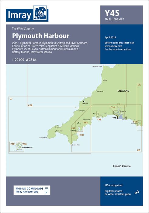
Scale: 1:20 000 WGS 84
Reverse side:
Plymouth to Saltash and Saint Germans (1:20 000)
Plans included:
Mayflower Marina (1:5000)
King Point & Millbay Marinas (1:10 000)
Sutton Harbour and Queen Anne’s Battery Marina (1:7500)
Plymouth Yacht Haven (1:5000)
Continuation of River Yealm (1:20 000)
First edition. Part of the small format Y series (A2 size), this is double-sided sheet replicates coverage of Plymouth (sheets 2400.13 & 14) from the 2400 West Country Chart Pack.
| SKU | BD7102 |
|---|---|
| Product Name | Y45 Plymouth Harbour |
| ISBN | 9781786794031 |
| EAN | 9781786794031 |
| Manufacturer / Publisher | Imray |
| Product type | Map |
| Medium / product type | Paper |
| Categories | Nautical chart |
| Language | English |
| Country / Region | England |
| Waters | Inland waters England |
| Publishing year | 2022 |
| Edition | 1 |
| Binding type | Folded in plastic wallet |
| Map scale | 1:20'000 |
| Charts type | Up to 1:30'000 |
| Card length open (cm) | 59 |
| card width open (cm) | 42 |
| Weight (kg) | 0.13 |
Write Your Own Review
We found other products you might like!


Validate your login
Sign In
Create New Account