Plans included:
Yarmouth Harbour (1:4500)
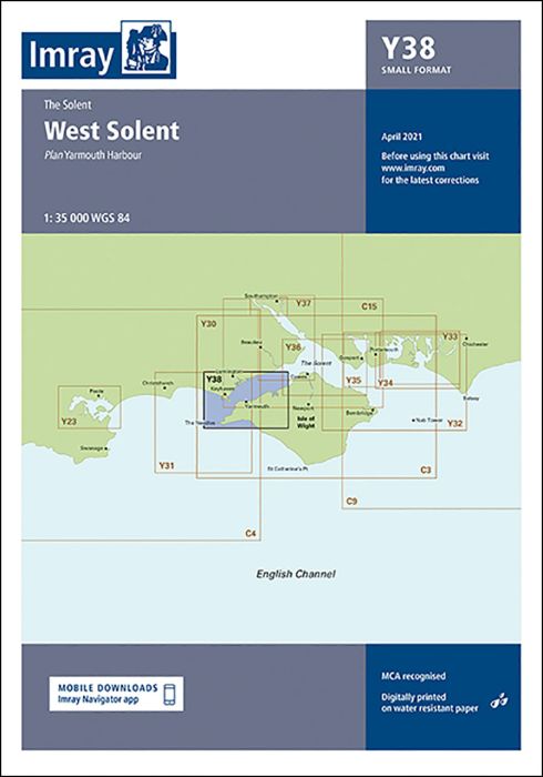
This chart is a replica of Imray chart 2200.8 covering the West Solent. It is printed on water resistant paper. This edition includes the latest official UKHO data at time of publication, combined with additional information sourced from Imray's network to make it ideal for small craft. It includes the latest racing buoy information and official bathymetric surveys. There has been general updating throughout.
| SKU | BD7116 |
|---|---|
| Product Name | Y38 West Solent |
| Short Description | Small Format |
| ISBN | 9781786793720 |
| EAN | 9781786793720 |
| Manufacturer / Publisher | Imray |
| Product type | Map |
| Medium / product type | Paper |
| Categories | Nautical chart |
| Language | English |
| Country / Region | England |
| Waters | English Channel |
| Publishing year | 2022 |
| Binding type | Folded in plastic wallet |
| Map scale | 1:35'000 |
| Charts type | 1:30'000 bis 1:300'000 |
| Weight (kg) | 0.13 |
| Dimension 1 (cm) | 59 |
| Dimension 2 (cm) | 42 |
Write Your Own Review
We found other products you might like!


Validate your login
Sign In
Create New Account