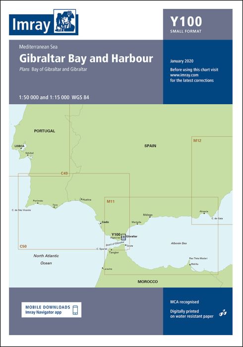
Scale: 1:50 000 WGS 84
Includes panel of Gibraltar (1:15 000)
A brand new chart for 2020 covering Gibraltar Bay & Harbour. This chart is a replica of the Gibraltar sheet found in the Imray chart atlas 3210 Gibraltar to Cabo de la Nao. It is printed on water resistant paper.
printed and corrected to February 2021
| SKU | BD7264 |
|---|---|
| Product Name | Y100 Gibraltar Bay and Harbour |
| ISBN | 9781786791955 |
| EAN | 9781786791955 |
| Manufacturer / Publisher | Imray |
| Refund policy | According to our AGB |
| Product type | Map |
| Medium / product type | Paper |
| Categories | Nautical chart |
| Language | English |
| Country / Region | Spain |
| Waters | Alboran Sea, Mediterranean Sea |
| Publishing year | 2020 |
| Binding type | Folded in plastic wallet |
| Map scale | 1:50'000 |
| Charts type | 1:30'000 bis 1:300'000 |
| Card length open (cm) | 59 |
| card width open (cm) | 42 |
Write Your Own Review
We found other products you might like!


Validate your login
Sign In
Create New Account