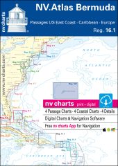
- 4 Übersegler
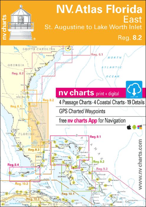
- 23 Küsten- und 8 Detailkarten
- mit «Harbour & Anchorage Pilot»
- Format 30x42cm, broschiert
- In englischer Sprache
Im Satz ist ein Download-Code für sämtliche Karten des Gebiets im nv.digital- Format zur Nutzung mit dem Navigationsprogramm «Chart Navigator light» sowie mit Smartphone/Tablet (Apple: iOS/MacOSX, Android, Windows 7/8/10) enthalten. Jetzt im Atlas-Format!
| SKU | BD2251 |
|---|---|
| Product Name | NV Atlas Florida East - 8.2 - St. Augustine to Lake Worth Inlet |
| Short Description | |
| ISBN | 978-3-945902-32-5 |
| EAN | 9783945902325 |
| Manufacturer / Publisher | NV Charts |
| Refund policy | According to our AGB |
| Product type | Book, Map, Software App |
| Medium / product type | Download, Licence card |
| Categories | Nautical chart |
| Language | English |
| Country / Region | North America, USA |
| Waters | Atlantic Ocean |
| Publishing year | 2016 |
| Binding type | In Plastikmappe |
| Map scale | Div. Massstäbe |
| Platform | Windows, Mac, Android, iOS |
| Weight (kg) | 0.688 |
| Dimension 1 (cm) | 42 |
| Dimension 2 (cm) | 30 |
Write Your Own Review
We found other products you might like!





Validate your login
Sign In
Create New Account