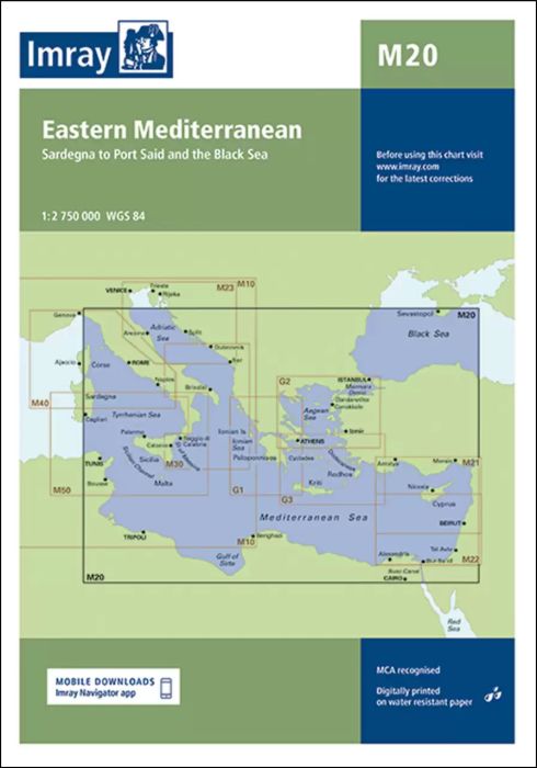
A passage planning chart covering Sardegna to Port Said and the Black Sea. On this edition the magnetic variation curves have been updated with the latest data. There has been general updating throughout.
| SKU | 10760 |
|---|---|
| Product Name | M20 Eastern Mediterranean |
| Short Description | Sardinia to Port Said and the Black Sea |
| Manufacturer / Publisher | Imray |
| Refund policy | According to our AGB |
| Product type | Map |
| Medium / product type | Paper |
| Categories | Nautical chart |
| Language | English |
| Country / Region | France, Greece, Italy, Croatia, Montenegro, North Africa, Romania, Turkey, Cyprus |
| Waters | Mediterranean Sea, Black Sea |
| Publishing year | 2021 |
| Updated | 2023 |
| Binding type | Folded in plastic wallet |
| Map scale | 1:2'750'000 |
| Charts type | 1:1'600'000 bis 1:5'000'000 |
| Card length open (cm) | 64,0 |
| card width open (cm) | 90,0 |
| Dimension 1 (cm) | 33 |
| Dimension 2 (cm) | 24 |
Write Your Own Review


Validate your login
Sign In
Create New Account