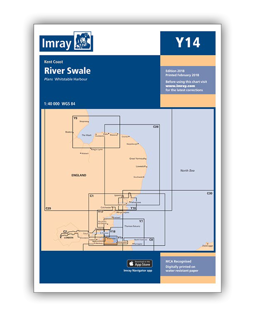
Plans included:
Whitstable Harbour (1:7000)
A brand new chart covering the River Swale. This chart is a replica of Imray chart 2100.6. It is printed on water resistant paper.
| SKU | BD6816 |
|---|---|
| Product Name | Y14 The Swale |
| ISBN | 9781846239793 |
| EAN | 9781846239793 |
| Manufacturer / Publisher | Imray |
| Refund policy | According to our AGB |
| Product type | Map |
| Medium / product type | Paper |
| Categories | Nautical chart |
| Language | English |
| Country / Region | England |
| Waters | North Sea |
| Publishing year | 2019 |
| Binding type | Folded in plastic wallet |
| Map scale | 1:40'000 |
| Charts type | 1:30'000 bis 1:300'000 |
| Weight (kg) | 0.13 |
| Dimension 1 (cm) | 24 |
| Dimension 2 (cm) | 33 |
Write Your Own Review
We found other products you might like!


Validate your login
Sign In
Create New Account