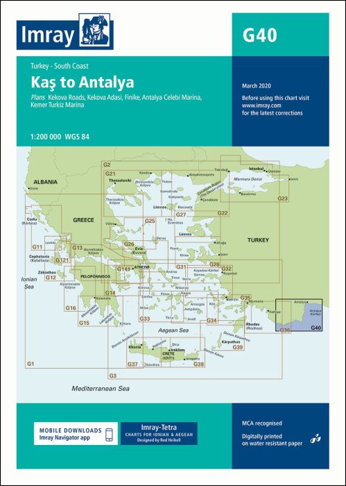
Plans included:
Kekova Roads (1:40 000)
Kekova Adasi (1:15 000)
Finike (1:17 500)
Antalya Celebi Marina (1:15 000)
Kemer Turkiz Marina (1:17 500)
For this edition the chart has been fully updated and modernised. The latest known depths are shown around Kas, Kekova Roads and Antalya Harbour. Harbour depths at Üçagiz are also displayed, as are the recently deployed AIS transmitters across the chart.
| SKU | BD2947 |
|---|---|
| Product Name | G40 Kas to Antalya |
| ISBN | 9781846236297 |
| EAN | 9781846236297 |
| Manufacturer / Publisher | Imray |
| Refund policy | According to our AGB |
| Product type | Map |
| Medium / product type | Paper |
| Categories | Nautical chart |
| Language | English |
| Country / Region | Turkey |
| Waters | Mediterranean Sea |
| Publishing year | 2014 |
| Updated | 2020 |
| Binding type | Folded in plastic wallet |
| Map scale | 1:200'000 |
| Charts type | 1:30'000 bis 1:300'000 |
| Card length open (cm) | 64 |
| card width open (cm) | 90 |
| Weight (kg) | 0.13 |
| Dimension 1 (cm) | 33 |
| Dimension 2 (cm) | 24 |
Write Your Own Review
We found other products you might like!


Validate your login
Sign In
Create New Account