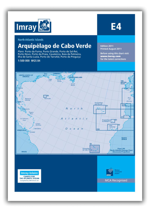
Plans included:
Porto Novo (Ilha de Santo Antão) (1:10 000)
Mindelo (Porto Grande) (Ilha de São Vicente) (1:20 000)
Ilha de Santa Luzia (1:not known)
Porto de Tarrafal (Ilha de São Nicolau) (1:8500)
Porto da Preguiça (Ilha de São Nicolau) (1:8500)
Baía da Palmeira (Ilha do Sal) (1:15 000)
Porto de Sal-Rei (Ilha da Boavista) (1:30 000)
Porto da Praia (Ilha de Santiago) (1:22 000)
Cavaleiros (Ilha do Fogo) (1:10 000)
Porto da Furna (Ilha Brava) (1:10 000)
On this edition the chart specification has been improved to show coloured light flashes. Depths have been updated from the latest available surveys where available. Completed harbour works at Palmeira (Sal) are included as are the latest reclamation works at Praia (Santiago). There has been general updating throughout.
| SKU | BD2952 |
|---|---|
| Product Name | E4 Arquipelago de Cabo Verde |
| ISBN | 9781786791467 |
| EAN | 9781786791467 |
| Manufacturer / Publisher | Imray |
| Refund policy | According to our AGB |
| Product type | Map |
| Medium / product type | Paper |
| Categories | Nautical chart |
| Language | English |
| Country / Region | Cape Verde Islands |
| Waters | Atlantic Ocean |
| Publishing year | 2021 |
| Binding type | Folded in plastic wallet |
| Map scale | 1:500'000 |
| Charts type | 1:300'000 bis 1:1'600'000 |
| Card length open (cm) | 64 |
| card width open (cm) | 90 |
| Weight (kg) | 0.13 |
| Dimension 1 (cm) | 33 |
| Dimension 2 (cm) | 24 |


Validate your login
Sign In
Create New Account