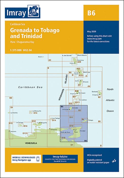
Imray-Iolaire charts for Caribbean are widely acknowledged as the best available for the cruising sailor. They combine the latest official survey data with first-hand information gathered over 60 years of research by Don Street Jr and his wide network of contributors. Like all Imray charts, they are printed on water resistant Pretex paper for durability, and they include many anchorages, facilities and inlets not included on official charts.
Plan includes:
Chaguaramus Bay
| SKU | BD6107 |
|---|---|
| Product Name | B6 Grenada to Tobago and Trinidad Passage Chart |
| ISBN | 9781846232305 |
| EAN | 9781846232305 |
| Manufacturer / Publisher | Imray |
| Refund policy | According to our AGB |
| Product type | Map |
| Medium / product type | Paper |
| Categories | Nautical chart |
| Language | English |
| Country / Region | Antilles (Lesser), Caribbean, Windward Islands |
| Waters | Atlantic Ocean, Caribbean Sea |
| Publishing year | 2009 |
| Updated | 2009 |
| Binding type | Folded in plastic wallet |
| Map scale | 1:40'000 |
| Charts type | 1:300'000 bis 1:1'600'000 |
| Card length open (cm) | 64 |
| card width open (cm) | 90 |
| Weight (kg) | 0.13 |
| Dimension 1 (cm) | 33 |
| Dimension 2 (cm) | 24 |
Write Your Own Review


Validate your login
Sign In
Create New Account