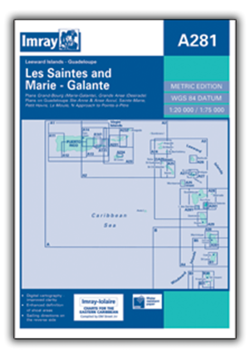
Includes the following panels:
Les Saintes (1:20,000)
Marie-Galante (1:75,000)
Plus plans of these harbours and anchorages:
Sainte-Anne & Anse Accul (Guadeloupe) (1:10,000)
Sainte-Marie (Guadeloupe) (1:20,000)
Petit Havre (Guadeloupe) (1:20,000)
Le Moule (Guadeloupe) (1:10,000)
Northern Approach to Pointe-à-Pitre (Guadeloupe) (1:75,000)
Grande Anse (La Desirade) (1:10,000)
Grand-Bourg (Marie-Galante) (1:10,000)
| SKU | BD6087 |
|---|---|
| Product Name | A281 Anchorages in Guadeloupe, Les Saintes and Marie-Galante |
| ISBN | 9781846230028 |
| EAN | 9781846230028 |
| Manufacturer / Publisher | Imray |
| Refund policy | According to our AGB |
| Product type | Map |
| Medium / product type | Paper |
| Categories | Nautical chart |
| Language | English |
| Country / Region | Antilles (Lesser), Caribbean, Leeward |
| Waters | Atlantic Ocean, Caribbean Sea |
| Publishing year | 2006 |
| Binding type | Folded in plastic wallet |
| Map scale | Div. Massstäbe |
| Charts type | Set of cards - different scales |
| Card length open (cm) | 64 |
| card width open (cm) | 90 |
| Weight (kg) | 0.13 |
| Dimension 1 (cm) | 33 |
| Dimension 2 (cm) | 24 |
Write Your Own Review


Validate your login
Sign In
Create New Account