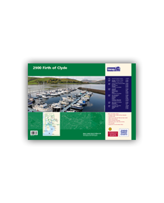
Chart pack containing seven sheets covers the popular sailing area of the Upper Clyde.
- 2900.1 The Upper Firth of Clyde and Loch Fyne
- 2900.2 Loch Fyne -Ardrishaig to Inveraray
- 2900.3 Lower Loch Fyne and Inchmarnock Water
- 2900.4 Firth of Clyde
- 2900.5 Loch Long Gareloch
- 2900.6 Kyles of Bute and Burnt Islands
- 2900.7 Lower Clyde and Approaches
| SKU | BD6534 |
|---|---|
| Product Name | 2900 Firth of Clyde Chart Pack |
| ISBN | 9781846234804 |
| EAN | 9781846234804 |
| Manufacturer / Publisher | Imray |
| Refund policy | According to our AGB |
| Product type | Map |
| Medium / product type | Paper |
| Categories | Nautical chart |
| Language | English |
| Country / Region | Scotland |
| Waters | Irish Sea |
| Publishing year | 2013 |
| Binding type | In Plastikmappe |
| Charts type | Set of cards - different scales |
| Card length open (cm) | 59 |
| card width open (cm) | 42 |
| Weight (kg) | 0.13 |
| Dimension 1 (cm) | 59 |
| Dimension 2 (cm) | 42 |
Write Your Own Review
We found other products you might like!


Validate your login
Sign In
Create New Account