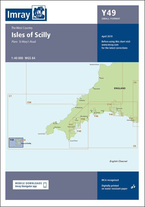
Scale: 1:40 000 WGS 84
Plans included:
St Mary’s Road (1:25 000)
First edition. Part of the small format Y series (A2 size), this replicates sheet 2400.3 from the 2400 West Country Chart Pack.
| Cod.Art. | BD7106 |
|---|---|
| Nome prodotto | Y49 Isles of Scilly |
| ISBN | 9781786794116 |
| EAN | 9781786794116 |
| Produttore / Editore | Imray |
| Tipo di prodotto | Carta |
| Tipologia di prodotto | Carta |
| Categorie | Carta nautica |
| Lingua | Inglese |
| Paese / Regione | Inghilterra |
| Acque | Acque interne Inghilterra |
| Anno di pubblicazione | 2022 |
| Edizione | 1 |
| Tipo di rilegatura | Piegato, in una cartella di plastica |
| Scala della carta | 1:40'000 |
| Tipo di carte nautiche | 1:30'000 bis 1:300'000 |
| Lunghezza della carta aperta (cm) | 59 |
| Larghezza della carta aperta (cm) | 42 |
| Peso (kg) | 0.13 |
Scrivi la tua recensione


Validate your login
Registrati
Creare un nuovo account