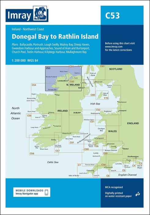
Plans included:
Ballycastle (1:5000)
Portrush (1:15 000)
Lough Swilly (1:45 000)
Mulroy Bay (1:30 000)
Sheep Haven (1:30 000)
Gweedore Harbour and Approaches (1:40 000)
Sound of Aran and Burtonport (1:30 000)
Church Pool (1:20 000)
Teelin Harbour (1:10 000)
Killybegs Harbour (1:12 500)
Mullaghmore Bay (1:50 000)
On this edition the chart specification has been improved to show coloured light flashes. Depths have been updated from the latest surveys where available. New plans of Ballycastle and Church Pool are now included. There has been general updating throughout.
| Cod.Art. | BD2864 |
|---|---|
| Nome prodotto | C53 Donegal Bay to Rathlin Island |
| ISBN | 9781786790583 |
| EAN | 9781786790583 |
| Produttore / Editore | Imray |
| Diritto alla restituzione | Secondo i nostri termini e condizioni |
| Tipo di prodotto | Carta |
| Tipologia di prodotto | Carta |
| Categorie | Carta nautica |
| Lingua | Inglese |
| Paese / Regione | Irlanda |
| Acque | Oceano Atlantico |
| Anno di pubblicazione | 2018 |
| Aggiornata | 2023 |
| Tipo di rilegatura | Piegato, in una cartella di plastica |
| Scala della carta | 1:200'000 |
| Tipo di carte nautiche | 1:30'000 bis 1:300'000 |
| Lunghezza della carta aperta (cm) | 78,7 |
| Larghezza della carta aperta (cm) | 111,8 |
| Peso (kg) | 0.13 |
| Dimension 1 (cm) | 33 |
| Dimension 2 (cm) | 24 |
Scrivi la tua recensione
Abbiamo trovato altri prodotti che ti potrebbero interessare!


Validate your login
Registrati
Creare un nuovo account