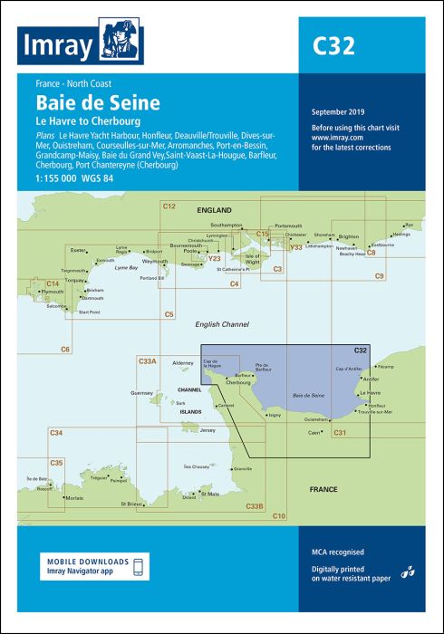
Plans included:
Le Havre Yacht Harbour (1:10 000)
Honfleur (1:15 000)
Deauville/Trouville (1:15 000)
Dives-sur-Mer (1:50 000)
Ouistreham (1:25 000)
Courseulles-sur-Mer (1:20 000)
Arromanches (1:35 000)
Port-en-Bessin (1:10 000)
Grandcamp-Maisy (1:6000)
Baie du Grand Vey (1:75 000)
Saint-Vaast-La-Hougue (1:20 000)
Barfleur (1:15 000)
Cherbourg (1:40 000)
Port Chantereyne (Cherbourg) (1:10 000)
On this edition the latest depth information has been included where available. The chart specification has been improved to show coloured light flashes. There has been general updating throughout.
printed and corrected to February 2021
| Cod.Art. | BD2851 |
|---|---|
| Nome prodotto | C32 Baie de Seine |
| Short Description | Le Havre to Cherbourg |
| ISBN | 9781846239465 |
| EAN | 9781846239465 |
| Produttore / Editore | Imray |
| Diritto alla restituzione | Secondo i nostri termini e condizioni |
| Tipo di prodotto | Carta |
| Tipologia di prodotto | Carta |
| Categorie | Carta nautica |
| Lingua | Inglese |
| Paese / Regione | Francia |
| Acque | La Manica, Oceano Atlantico |
| Anno di pubblicazione | 2017 |
| Aggiornata | 2021 |
| Tipo di rilegatura | Piegato, in una cartella di plastica |
| Scala della carta | 1:155'000 |
| Tipo di carte nautiche | 1:30'000 bis 1:300'000 |
| Lunghezza della carta aperta (cm) | 78,7 |
| Larghezza della carta aperta (cm) | 111,8 |
| Peso (kg) | 0.13 |
| Dimension 1 (cm) | 33 |
| Dimension 2 (cm) | 24 |
Scrivi la tua recensione


Validate your login
Registrati
Creare un nuovo account