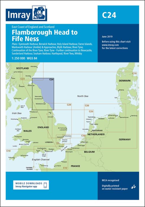
Scale: 1:250 000 WGS 84
Plans included:
Eyemouth Harbour (1:7500)
Berwick Harbour (1:12 500)
Holy Island Hbr (1:17 500)
Farne Islands (1:90 000)
Warkworth Harbour (Amble) & Approaches (1:22 500)
Blyth Harbour (1:10 000)
River Tyne (1:25 000)
Continuation of the River Tyne (1:40 000)
River Tyne - Further continuation to Newcastle (1:40 000)
Sunderland Harbour (1:15 000)
Seaham Harbour (1:12 500)
Hartlepool (1:20 000)
River Tees (1:30 000)
Whitby (1:15 000)
On this edition a the chart specification has been improved to show coloured light flashes. There has been general updating throughout.
printed and corrected to February 2021
| Cod.Art. | BD2843 |
|---|---|
| Nome prodotto | C24 Flamborough Head to Fife Ness |
| ISBN | 9781786790248 |
| EAN | 9781786790248 |
| Produttore / Editore | Imray |
| Diritto alla restituzione | Secondo i nostri termini e condizioni |
| Tipo di prodotto | Carta |
| Tipologia di prodotto | Carta |
| Categorie | Carta nautica |
| Lingua | Inglese |
| Paese / Regione | Inghilterra, Scozia |
| Acque | Mare del Nord |
| Anno di pubblicazione | 2018 |
| Aggiornata | 2021 |
| Tipo di rilegatura | Piegato, in una cartella di plastica |
| Scala della carta | 1:250'000 |
| Tipo di carte nautiche | 1:30'000 bis 1:300'000 |
| Lunghezza della carta aperta (cm) | 78,7 |
| Larghezza della carta aperta (cm) | 111,8 |
| Peso (kg) | 0.13 |
| Dimension 1 (cm) | 33 |
| Dimension 2 (cm) | 24 |
Scrivi la tua recensione


Validate your login
Registrati
Creare un nuovo account