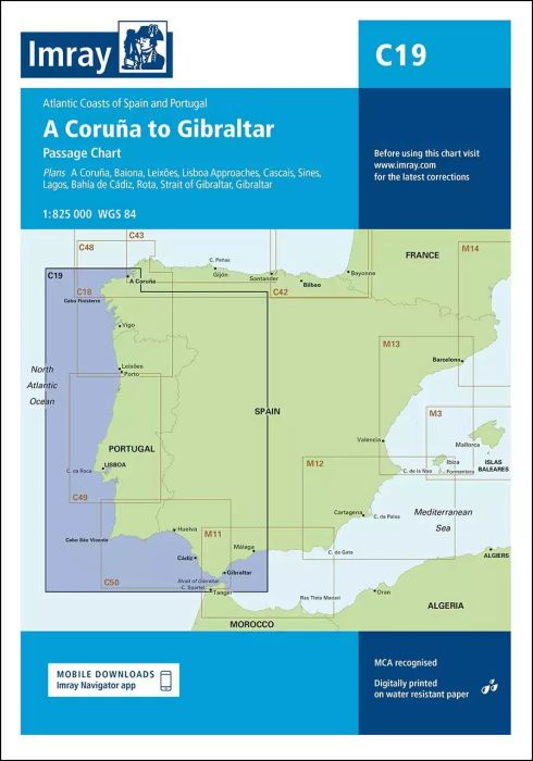
Plans included:
A Coruña (1:50 000)
Baiona (1:85 000)
Leixões (1:20 000)
Lisboa Approaches (1:65 000)
Cascais (1:25 000)
Sines (1:30 000)
Lagos (1:30 000)
Bahía de Cádiz (1:55 000)
Rota (1:25 000)
Strait of Gibraltar (1:275 000)
Gibraltar (1:40 000)
On this edition the chart specification has been improved to show coloured light flashes. The plan of Bahía de Cádiz has been extended south to include the Constitution of 1812 Bridge. Completed harbour developments within Cádiz have been included. There has been general updating throughout.
| Cod.Art. | BD2840 |
|---|---|
| Nome prodotto | C19 A Coruña to Gibraltar |
| ISBN | 9781786791054 |
| EAN | 9781786791054 |
| Produttore / Editore | Imray |
| Diritto alla restituzione | Secondo i nostri termini e condizioni |
| Tipo di prodotto | Carta |
| Tipologia di prodotto | Carta |
| Categorie | Carta nautica |
| Lingua | Inglese |
| Paese / Regione | Portogallo, Spagna |
| Acque | Oceano Atlantico, Mar Mediterraneo |
| Anno di pubblicazione | 2019 |
| Aggiornata | 2023 |
| Tipo di rilegatura | Piegato, in una cartella di plastica |
| Scala della carta | 1:825'000 |
| Tipo di carte nautiche | 1:1'600'000 bis 1:5'000'000 |
| Lunghezza della carta aperta (cm) | 78,7 |
| Larghezza della carta aperta (cm) | 111,8 |
| Peso (kg) | 0.13 |
| Dimension 1 (cm) | 33 |
| Dimension 2 (cm) | 24 |
Scrivi la tua recensione


Validate your login
Registrati
Creare un nuovo account