


- Paper
- Paper
- Paper
- Paper
- Paper
- Paper
Mediterranean
Charts type
Country / Region
Aegean 8
Albania 2
Antarctic 1
Balearic Islands 2
Dodecanese 4
France 10
Greece 26
Italy 24
Corsica
Croatia 7
Cyclades 4
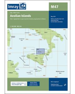
Aeolian/Lipari Islands 1
Malta 1
Montenegro 4
North Africa 5
Romania 1
Sardinia
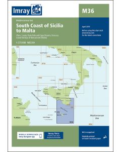
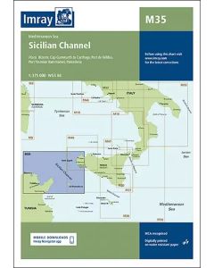
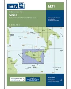
Sicily 6
Slovenia 4
Spain 8
Sporades (Northern) 3
Sporades (Southern) 5
Turkey 6
Cyprus 1
Waters
Medium / product type
Product type
Manufacturer / Publisher
Map scale
1:110'000
1:1'100'000
1:140'000 1
1:180'000
1:190'000
1:200'000
1:255'000
1:275'000 1
1:2'750'000
1:325'000
1:350'000
1:375'000 1
1:400'000 1
1:440'000
1:50'000
1:500'000
1:65'000
1:729'000
1:95'000
1:950'000
1:750'000
1:850'000 1
1:185'000
1:220'000
Div. Massstäbe
1:536'000
1:518'000
1:118'000
1:169'000
1:124'000
1:135'000
1:154'000
1:256'000
1:242'000
1:298'000
1:244'000
1:1'750'000


Seekarten für das Mittelmeer
Hier finden Sie eine Auswahl an Navigationskarten für Mittelmeergebiete wie Venedig, Rijeka, Šibenik, Drvenik, Žirje, Split, Dubrovnik, Bar usw.
Shop
- Education
- Harbour guides
- Nautical Charts
- Books
- Equipment
- SALE
- Products for distribution
- Products for partner schools
- Gift vouchers
Validate your login
Sign In
Create New Account